Meet The Team Behind RCOAST
We measure what matters and connect communities across oceans to solve it
The Team
Scientists and community builders working across the continent
Dr. Swann
Dr. Christy Swann is an internationally-recognized, award-winning Earth and Planetary scientist with 20 years of experience studying windblown sand on the beaches of Earth, from Brazil to the Netherlands and even the windy, dusty environment of Mars. Throughout her scientific career, she has built innovative technology that pushes the forefront of our technological capabilities and scientific understanding of Aeolian Geomorphology.
Dr. Swann’s scientific accomplishments began during her Bachelor’s and Master’s degrees from East Carolina University where her research led her to develop the Wind Potential Index which created a method for scientists and planners to estimate the volume of windblown sand accreted during individual wind events. From her Master’s work, she was accepted into a Ph.D. program at Texas A&M University to study with Dr. Doug Sherman, the world’s preeminent coastal dune scientist. During her Ph.D., Dr. Swann started building her own instruments to solve unanswered scientific problems and designed the first instrument capable of discerning the minimum wind speed needed to mobilize windblown sand to enable the dune building process. Her internationally-recognized publications on her scientific breakthroughs were recognized by the NASA Curiosity team, who was looking through the lens of Curiosity on Mars and unable to understand why the current windblown sand models were not working. Dr. Swann’s recent breakthrough from her PhD work led to a NASA postdoctoral fellowship, where she adapted her earth instrumentation for Mars and ran a multitude of experiments at NASA Ames in a Mars low-pressure wind tunnel to solve the Curiosity conundrum. From that work, Dr. Swann unraveled a long-standing question on the fundamental physics of windblown sand and developed a model that predicts the minimum wind speed needed to mobilize sand on Mars, which is how the Red Planet’s dust storms begin. That research won her two prestigious national awards for research excellence: the G.K. Gilbert award and the Alan Berman award.
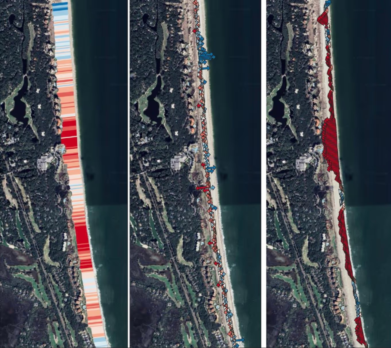
Over the last 7 years, Dr. .Swann has conducted coastal science for naval operations in the Ocean Sciences Division of the Naval Research Laboratory. Her most recent experiment led a team of engineers to build the world’s first field-based particle tracking velocimetry system, producing the first ever 3D measurements of atmospheric turbulence on beaches. She has been invited to publish this research in Aeolian Research, the foremost scientific journal for aeolian geomorphological science.
Over her career, Dr. Swann has published over 26 scientific articles on coastal dunes on earth and Mars, advised numerous PhD and Masters students, been an Associate or Guest Editor for high impact scientific journals and served on multiple review panels for universities, NASA and the Navy. She has been invited to give keynote addresses and guest lectures at CalTech, Stanford, Astronomical Societies, and numerous conferences. She currently serves on a Mars lander team in collaboration with partners at the Jet Propulsion Laboratory, Stanford, Cornell, and other high profile private research institutes. However, she still makes time to mentor young students to promote STEM, women-in-science, entrepreneurship and empower the next generation of groundbreaking scientists, engineers and business owners. She is currently on the board for the international organization of Women in Coastal Geoscience and Engineering where she is a mentor for young women scientists and focuses on promoting Diversity, Equity and Inclusion in the workplace, university programs and beyond.
In March of 2023, Dr. Swann left the Naval Research Laboratory to start her own company, RCOAST, which places the tools used in the highest levels of research science in the hands of everyday consumers. Her goal in starting RCOAST was to empower people to make educated decisions that will help to make our coast more resilient.
Dr. Christy Swann is an internationally-recognized, award-winning Earth and Planetary scientist with 20 years of experience studying windblown sand on the beaches of Earth, from Brazil to the Netherlands and even the windy, dusty environment of Mars.
Dr. Hilary Stockdon is a nationally recognized coastal scientist and strategic leader whose work has shaped how the United States understands, forecasts, and manages coastal hazards. With more than 25 years of experience advancing coastal and climate science at national scale, she brings a rare combination of scientific authority, operational execution, and executive leadership to her role as Chief Science Officer at RCOAST.
Dr. Stockdon has built and led complex, mission-driven science enterprises that translate cutting-edge research into real-world impact. Most recently, she directed the U.S. Geological Survey’s Coastal-Marine Hazards and Resources Program, a $45+ million annual portfolio supporting more than 300 scientists and staff across three science centers. In this role, she defined national research priorities, guided federal appropriations and disaster supplemental investments, and ensured delivery of actionable science aligned with Congressional, Administration, and stakeholder needs. She also established and led the USGS Coastal Change Hazards focus area, overseeing $17 million annually in appropriations and coordinating a nine-member leadership team to deliver national-scale hazard products.
A prolific and influential researcher, Dr. Stockdon has authored or co-authored more than 75 peer-reviewed publications advancing coastal process modeling and hazard forecasting. She pioneered the Stockdon Equation (2006), a globally adopted empirical parameterization for wave runup and widely implemented as a foundational component of coastal early warning systems, risk assessments, and adaptation planning. Her scientific contributions underpin modern understanding of storm-driven coastal change and have directly informed infrastructure design, flood risk mapping, and resilience investments.
Beyond foundational science, Dr. Stockdon has demonstrated a consistent ability to operationalize innovation. She envisioned and led the development of the first national operational forecasts of coastal total water levels and erosion, created in partnership with NOAA and now used by federal, state, and local emergency managers. She co-led the development of the USGS Coastal Change Hazards Portal, delivering authoritative, accessible hazard information on storms, sea level rise, and long-term erosion to decision-makers and the public. Under her leadership, federally funded research was converted into real-time forecast products and national hazard services that support emergency response and long-term planning.
Dr. Stockdon is also a trusted interagency leader and policy advisor. She has served as the USGS lead on White House and Department of the Interior ocean and climate initiatives, briefed Congress and OMB on coastal science priorities, and co-developed the Interagency Task Force on Sea Level Change—bringing together seven federal agencies to deliver nationally consistent, authoritative sea-level information for local and private-sector investment decisions. Her contributions have informed the White House Ocean Climate Action Plan and the National Strategy for a Sustainable Ocean Economy.
At RCOAST, Dr. Stockdon applies this depth of experience to accelerate scientific innovation, strengthen strategic partnerships, and ensure that advanced coastal intelligence translates into measurable resilience and risk reduction. Her career reflects a consistent throughline: building high-performing teams, aligning science with societal need, and transforming research into scalable, decision-ready solutions. For investors, she represents both scientific credibility and proven execution—an experienced leader capable of guiding RCOAST’s science strategy while positioning the company at the forefront of coastal risk intelligence and climate resilience innovation.
Dr. Hilary Stockdon, an internationally recognized coastal scientist and strategic leader whose work shaped coastal hazard management and forecasts world-wide, brings to RCOAST 30 years of experience in advancing scientific research, developing operational systems, and delivering innovative solutions for coastal challenges.
Lauren (M.S.) is a remote sensing scientist - a geomorphologist and geographer with expertise in topographic measurements and change detection, quantitative analysis, and data presentation. She utilizes a range of remote sensing technologies (airborne and terrestrial lidar, satellite imagery, photogrammetry), and field instruments (total stations, GPS and RTK) to monitor geomorphic processes. Lauren has a B.S. in Environmental Science and Geographic Information Science, and an M.S. in Remote Sensing, Fluvial Geomorphology, with an emphasis in eco-informatics. Before joining RCOAST, she worked with the U.S. Geological Survey monitoring changes to sand dunes in the Grand Canyon. She joined the RCOAST team to bring sound science to communities invested coastline resilience, and the health of the natural world. Her passion is informing data-driven decision-making by collecting, processing, and interpreting data to promote ecosystem resilience and resource protection. She is now the Project Manager for RCOAST bus also continues to collect, process, and present sound science.
Lauren has expertise in geomorphology, lidar, imagery analysis, and change detection. She uses those skills at RCOAST to support data-driven coastal resilience.
Dallon Weathers
Dallon Weathers’ interest in geology began about 30 years ago pursuing a Bachelor of Science in Geology at the University of the South at Sewanee, TN. After spending a few years along the sedimentary outcrops of the Cumberland Plateau and a few more on the coast of South Carolina, he turned his focus to coastal systems and earned a Master of Science in Geology from the University of South Carolina modeling beach nourishment evolution after emplacement.
In 2004, he joined Research Planning Inc while completing his research, and later moved to New Orleans to establish an office and conduct applied geologic research in the rivers, marshes, and barrier of South Louisiana. Through working partnerships with the University of New Orleans, Mr. Weathers was introduced to the Pontchartrain Institute of Environmental Sciences.
In 2006, he joined PIES and continued research to characterize and monitor the evolution of the coastal landscape of South Louisiana. In addition to facilitating student and faculty research, Mr. Weathers was part of a partnership between PIES and the US Geological Survey on the first Barrier Island Comprehensive Monitoring (BICM) project. He was also part of the first Louisiana Coastal Master Plan as a member of the Barrier Island Modeling Team.
After 7 years at PIES, Mr. Weathers joined The Water Institute of the Gulf in 2013 to help create the Physical Processes and Sediment Systems group. Applied research conducted with the Institute was integral to restoration planning by the Louisiana Coastal Protection and Restoration Authority.
Later in 2018, the lure of industry took him to help open a Louisiana base of operations for T&T Braveheart. At T&T Braveheart, Mr. Weathers honed his skills in the field of hydrographic and geophysical survey and was part of the largest maritime salvage operation in the United States that removed the capsized Golden Ray from the edge of the Brunswick Ship Channel in Georgia.
In 2020, Mr. Weathers started Delta Geo-Marine, a New Orleans based consulting firm focused on coastal geology, geophysics, and hydrography. Over the years, Mr. Weathers has lent his services to mobilize offshore and near shore survey vessels; developed models and analytic routines in geospatial applications; and provided support to conduct myriad hydrographic, geophysical, and hydrologic surveys. Delta Geo-Marine has also partnered with LUMCON and RCoast to study and monitor the evolution and depositional footprint of Neptune Pass on the East Bank of the Mississippi River near Ostrica, LA.
Most recently, Mr. Weathers has joined the R-Coast team to lead the development of streamlined processes to take raw Lidar and imagery data from UAV surveys to make high resolution orthoimagery and point clouds, and then further integrate these into a geospatial environment where the data can be leveraged to inform decisions on coastal management.
Areas of Expertise:
- Coastal Geology and Processes
- Geospatial Modeling and Analysis
- Oceanographic Instrument Deployment
- Hydrographic and Geophysical Survey
Dallon leads the end-to-end workflow for turning UAV lidar and imagery into high-resolution orthoimagery and point clouds, and integrating them into geospatial systems for coastal management decision-making.

Jacob is a trained Coastal Engineer with experience in sensor development, machine learning, and unmanned systems operations. He will contribute to the team by planning UAV lidar deployments, automating survey data workflows, and developing machine learning models that leverage post-processed survey data to generate actionable coastal insights.
Ian Adkins is a Systems Engineering PhD student at the University of South Alabama where he is developing a low-cost, real-time, nearshore monitoring network. His research addresses the need for accessible environmental data in coastal communities, specifically at oyster farms and water bodies with persistent water quality issues around Mobile, Al.
Ian builds end-to-end data solutions, including the design of a cloud-hosted server that automates data storage, real-time visualization, cleaning, and asset tracking. He brings over 10 years of experience programming, with a background in applying statistical methods to clean noise from LiDAR dataset and developing custom spatial segmentation and 3D mesh generation algorithms.
Ian holds a B.S. in Mathematics from Florida State University, a B.S. in Civil Engineering from the University of South Alabama, and a M.S. in Mathematics and Statistics from the University of West Florida.
We are hiring! Join us in expanding our work to more coastlines.
Why we do the work we do
%201.avif)
Accessible coastal data for all communities
Communities deserve to know how we collect data and what it means. No black boxes here.
Costal collaboration across continents
A solution that works in one place teaches another. We build that network deliberately.
Coastal mitigation needs to be effective
Our coasts are changing faster than we can manage them. Mitigation solutions need to be based on real ROI data.
Join us in protecting coastline today!
Join communities worldwide using RCOAST to monitor and measure what works.